
Saona Island topobathymetric LiDAR
5 min read
Nov 5, 2026
Saona Island Topobathymetric LiDAR: Mapping Beaches and Shallow Seabeds
Discover how topobathymetric LiDAR combines land and shallow-water laser surveying to map beaches, shorelines and seabeds, with applications for coastal research around Saona Island.
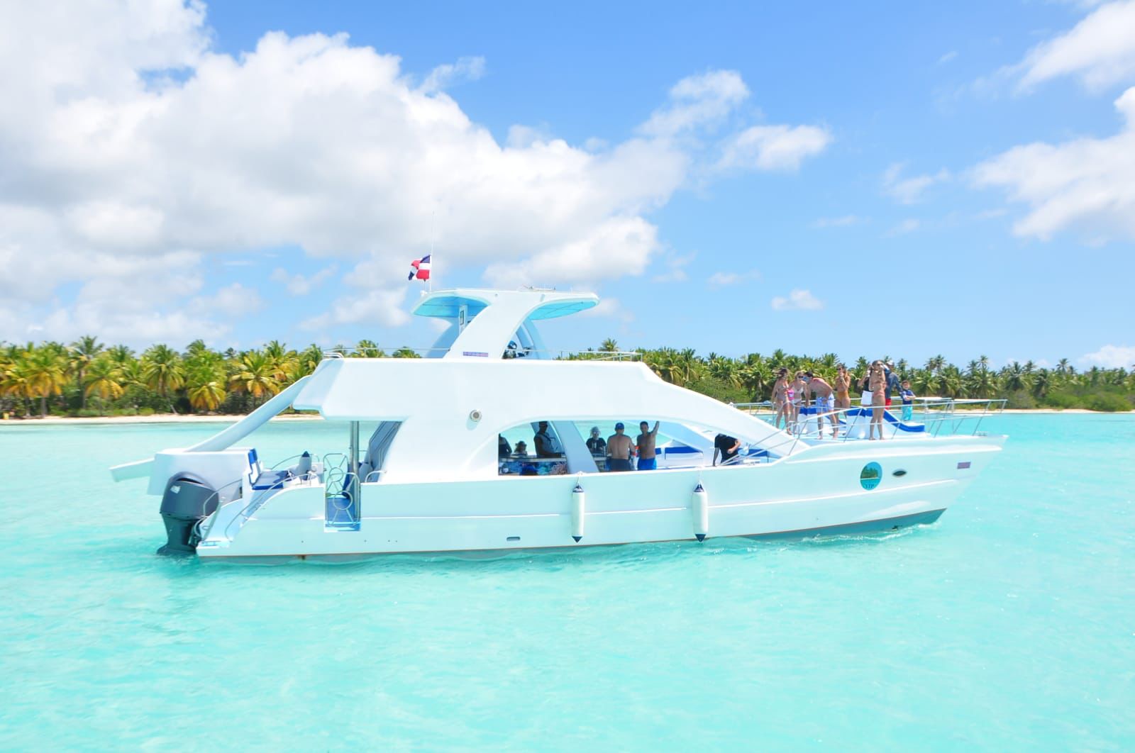 SAONA ISLAND